

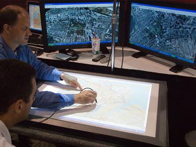
Surveying involves the collection, management and presentation of information that relates to mapping and geographical information systems (GIS). This qualification will build high level knowledge in the use of digital technologies, surveying tools, mapping, and information databases.
You'll have expert skills to work in land development and management programs; commercial building and construction projects; environmental studies; emergency situations monitoring — and so much more! You'll learn advanced Global Navigation Satellite System data collection, and how to set out surveys including subdivisions for approval; create engineering drawings; and perform advanced computations with a focus on geodetic surveying and computations. You will also learn how to analyse geographic information system data and use complex spreadsheets.
Choose a WA TAFE college that delivers this course
To find out more about doing this course at a WA TAFE college, select one of the TAFEs listed below to read their course descriptions. You'll also be able to see at which TAFE campus/es the course is delivered.
If you would like further information such as when the course is available and how to enrol, and details of course fees, or if you have questions about how the course is delivered, please follow the Find out more link to go to the TAFE's website where you will find full course details and contact information so that you can speak to the TAFE directly.

Extend your studies and knowledge of surveying
This course will further develop your skills by teaching you how to operate sophisticated surveying equipment and software for conducting more complex engineering surveys, including road design and set out surveys and more complex surveying tasks.
This Diploma has a focus on geodetic surveying including how to conduct geodetic surveys and perform computations. You will also develop industry-specific skills including how to design basic engineering structures and plan spatial data collection. A large selection of electives is available, such as producing maps for land management purposes, producing mine drawings and how to set out stormwater systems.
When you complete this Diploma, you will be eligible for an Associate membership of the Surveying and Spatial Sciences Institute (Engineering and Mining Commission).
The information presented on the course lists within this website is provided to the Department of Training and Workforce Development by the WA TAFE colleges and private training providers, and is offered as a guide only. It is updated regularly, however some changes to details may occur in between updates. You should always contact the TAFE or private training provider directly to confirm details and/or ask questions.